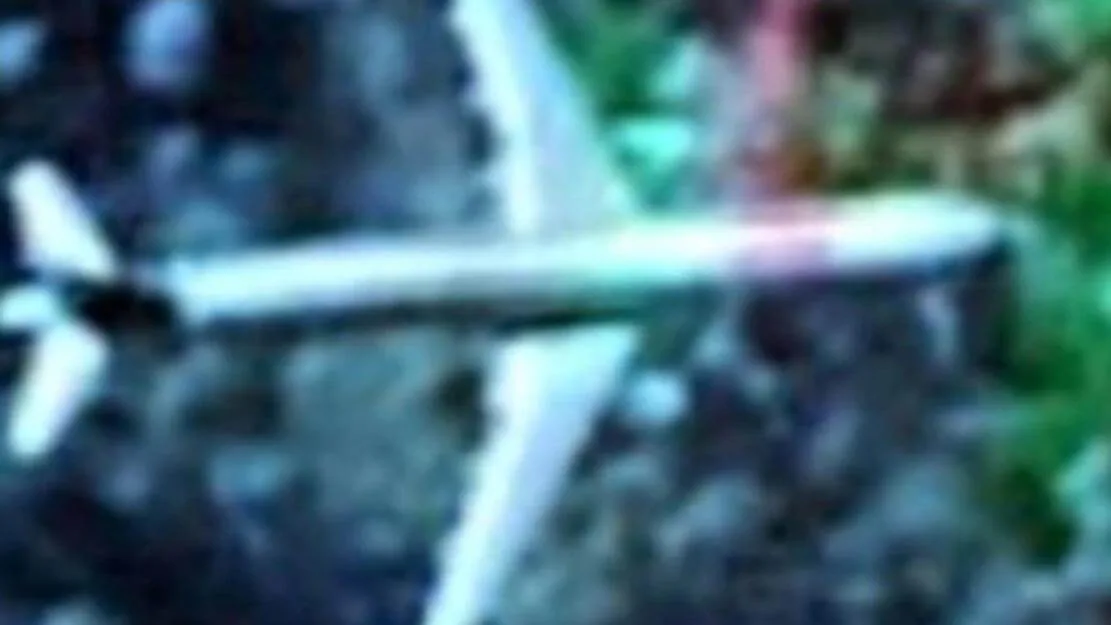
A “glitch” that rasied eyebrows was blamed for an eerie image on Google Maps appearing to show a passenger airliner resembling a Boeing 767-400 over a North Queensland mountain range.
The aircraft was photographed flying at an unusually low altitude over the Cardwell Range, estimated between 50 to 150 feet above ground level. (AGL)
Aviation enthusiast say a “downed” aircraft was an impossibility because the image identifies the aircraft as being completly intact with no external signs of impact damage.
The Civil Aviation Safety Authority (CASA) says the plane was not a crashed aircraft, and the Australian Transportation Safety Bureau was not aware of missing passenger planes at the time the image was discovered.
A phenomenon known as “ghost images” is probably what the image is displaying, says CASA.
An aircraft of this size wouldn’t be identified on coventional radar screens given it’s low altitude.
Several unusual artifacts have shown up on Google over the past year. A Reddit user noticed an unknown object on Google Earth and claimed that it was a “crashed UFO”.
Director and secondary editor at Tech Business News, Mr Giannelis says, the majority of “phantom” vehicles in Google Earth and Maps are situated in areas where Google has created composite image layers using multiple shots.
“In areas where Google has 3D imagery, photos are usually acquired from aircraft using multiple angles.”
“Software reconstructs the terrain and an image layer It then works to remove non-permanent objects like cars or aircraft in this case.”
“Since this is not an error-free procedure, we can sometimes see ghost images.” says Mr Giannelis.
In 2018 an airliner was disovered off the coast of Edinburgh on Google Earth and was not the first time an artifact like this appeared on Google Earth or Google Maps

A Google spokesman told The Mirror that the find was the result of a process that creates a seamless view of the planet using a composite of satellite and aerial imagery.
“The pictures used in any given area are often a mixture of several pictures, a process that allows Google Earth’s developers to get the clearest image possible, free of clouds or shadows,” said the spokesman
Tech Business News is reaching out to Google for information regarding the mystery aircraft image.


