
Tasmania to get 4D digital twin with Virtual Tas using laser scanning and image capture technology
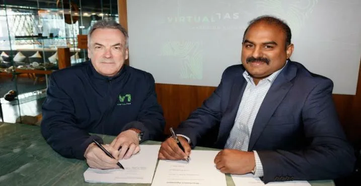
Enzen Australia and 42-24, a TasNetworks’ subsidiary business, today launched Virtual Tas, a joint venture which will undertake annual statewide aerial captures of Tasmania to create a 4D Digital Twin.
Using laser scanning and image capture technology, along with the ability to model and visualise big data, Virtual Tas will create a life-scale 4D map (known as Digital Twin) which will be used to help prevent and respond to natural disasters (eg. bushfires and flooding), guide remote rescue missions and guide new infrastructure and developments.
The development of Virtual Tas will provide the opportunity to deliver safer and more resilient communities at the same time as providing a positive economic impact to GSP of between $160 – $320m over ten years.
Sean McGoldrick, CEO TasNetworks and Chair of Virtual Tas said, “We are proud and delighted to be the foundation customer for Virtual Tasmania. Over a 10-year period, it will transform the way we run as a utility. We expect this project will touch every part of our business; from asset management, to vegetation management to travelling and making sure our people are safe. It will help to ensure that our network is reliable and that we are delivering efficiently and affordably for our customers.”
Enzen Australia CEO and Board Director of Virtual Tas, Dileep Viswanath said, “We are thrilled to be working with 42-24, TasNetworks, and our Government partners on Virtual Tas and for the future of this digital technology and business model in Australia and globally. We are excited about what this will do for Tasmania and its businesses and communities by enabling collaboration using new and shared data on an open and extensible platform.”
Disaster SMART Tasmanian Communities is a first use case of the technology which Mr Viswanath said is an exciting development for Australia and the future of planning and disaster reduction.
Enzen has received $2.6m in Federal funding from the National Recovery and Resilience Agency to deliver a digital twin solution and disaster risk reduction and community resilience application using annual data and modelling provided by Virtual TAS.
Virtual Tas’ Digital Twin will be built using a base of Light Detection and Ranging (LiDAR), adding satellite data, drone footage, high resolution photography and other data to create a tapestry of all forms of spatial data. Bringing together new technology with existing data will enrich the available information, allowing it to be used for in-depth planning and infrastructure, particularly in remote and unreachable locations.
Enzen Australia Leader of Smart Energy and Water and Board Director of Virtual Tas Ian McLeod, said Digital Twin will also incorporate data from a LoRaWAN Internet of Things Network that will sense the environment and infrastructure and update the model in real time.
“This has practical application for asset management, risk and defect management, vegetation management, network design, measuring under clearances, and job scoping,” Mr McLeod said.
“Some elements of the technology have been used for specific purposes within Australia and worldwide, but this will be the first time a whole state has been captured at such high resolution for the specific purposes of supplying high quality data and services across multiple business sectors enabling greater cross sector collaboration,” he said.
Leader of 42-24 and Board Director of Virtual Tas, Kelly Walker, said Digital Twin will use aircraft laser scanning annually over the next 10 years to create and enhance the Digital Twin.
“This is about helping to build a better Tasmania, protecting and saving lives and working smarter” Ms Walker said.
“It’s about Tasmanians having the best data models in Australia for preventing and tackling natural disasters, safely exploring our island, and building more efficiently.
“In recent years, we’ve seen the devastating impact of fire and flood across Australia. The kind of detailed 4D models achieved by Virtual Tas will become a key weapon in how we prevent, plan, rescue and fight back into the future,” she said.
TasNetworks is a foundation customer for Virtual Tas, committed to a ten year period. Key use cases for TasNetworks include vegetation management, asset management (defect identification), measuring under clearances, network design and job scoping.